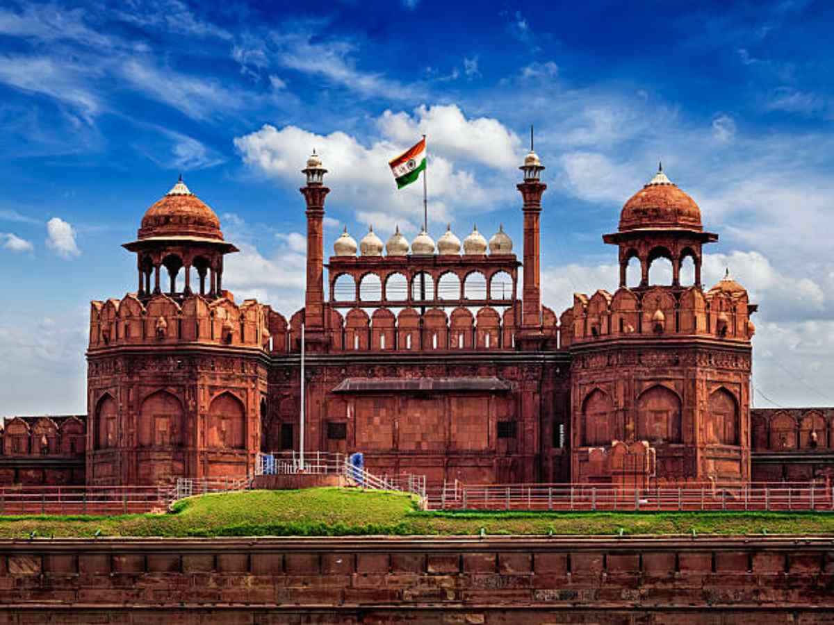
Red Fort
Delhi Traffic Police on Thursday said it has digitally mapped seven designated locations near the Red Fort to facilitate hassle-free parking and navigation for visitors and dignitaries attending the Independence Day celebrations.
The initiative has been undertaken in collaboration with Google Maps and Mappls as part of the traffic police’s technology-driven efforts to streamline vehicular movement during the event, traffic police said in a statement.
The seven parking locations have been mapped on Google Maps, while QR codes have been generated for each location on Mappls, enabling users to scan and navigate directly to their designated parking areas, it said.
The parking information is available on Delhi Traffic Police’s official X handle.
According to the statement, the initiative aims to reduce unnecessary vehicular movement, improve traffic management and provide commuters with real-time navigation support during the Independence Day celebrations.
Each day of closure costs shops in Khan Market and Connaught Place between Rs 60,000…
Delhi generates nearly 15,000 tonnes of waste daily, prompting the government to deploy 1,000 mechanical…
Delhi Police has issued an NOC for the Congress rally at Ramlila Maidan on November…
CJP chief Abhijeet Dipke received conditional bail following his arrest for participating in a Connaught…
The DPCC has floated ₹104 crore tenders to test pilot pollution-control technologies across 40 key…
MCD pushes Bhalswa cleanup to Feb 2027 due to agency transition, leaving over 10 lakh…
