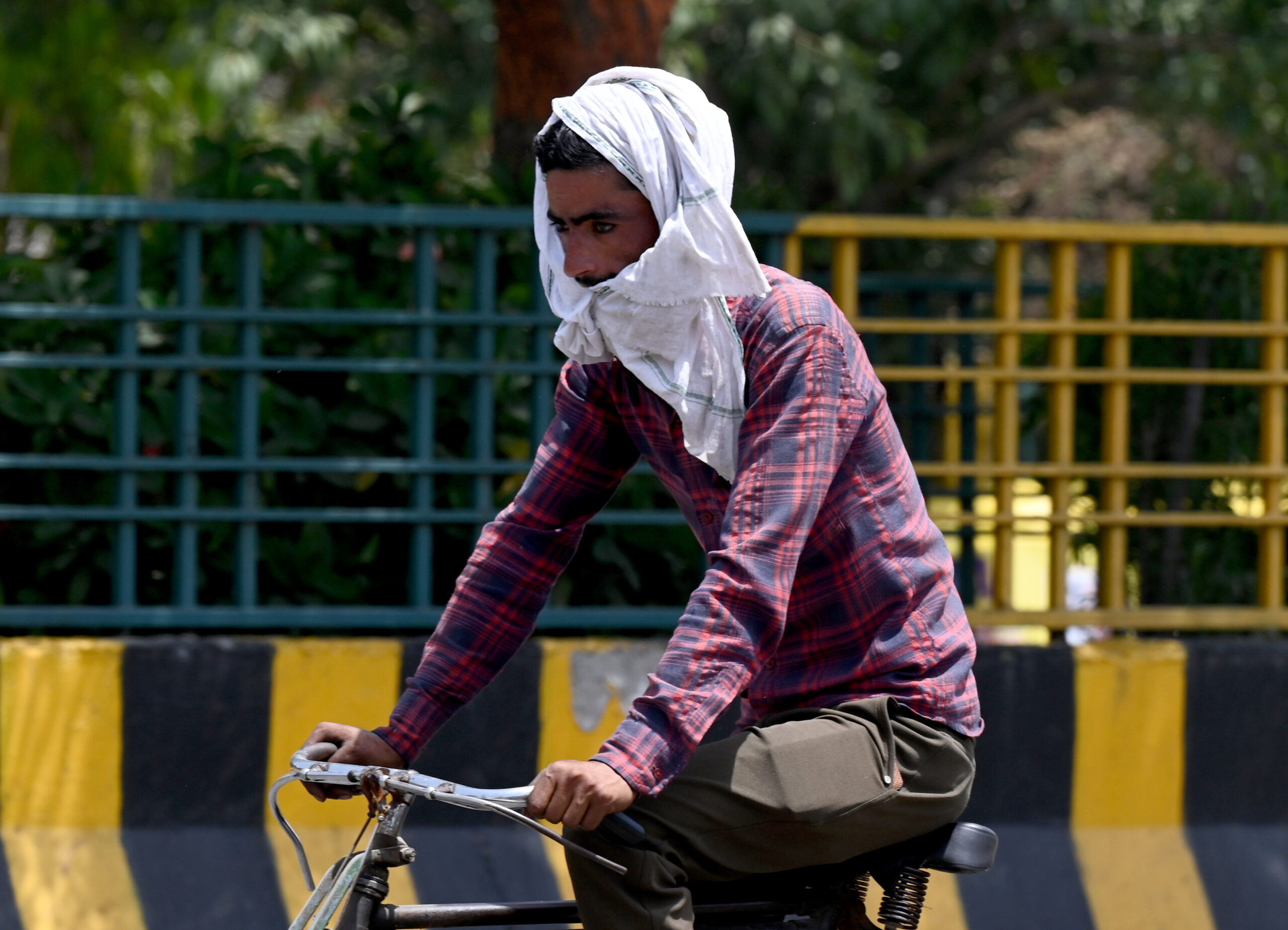
A worker covers his head with cloth as he travels to work in New Delhi. (Photo: Getty)
Delhi’s Safdarjung Observatory, the primary weather station in the city, has not experienced a heatwave this summer season, and it is anticipated that there will be no heatwave until the end of June. This is an unusual occurrence since 2011 when the observatory recorded at least one heatwave during summers, as per data from the India Meteorological Department (IMD).
Kuldeep Srivastava, the head of the IMD’s regional forecasting centre, stated, “The Safdarjung Observatory has not recorded any heatwave this summer season so far. Also, there will be no heatwave in the next seven days. Since 2011, this is the first summer without a heatwave in Delhi.”
Meteorologists attribute the absence of heatwave days to excessive rainfall caused by higher-than-usual western disturbances. These weather systems originate in the Mediterranean region and bring unseasonal rainfall to northwest India during the summer season from March to June.
According to IMD’s data, Delhi received 111 mm of rainfall in May, which is 262 percent more than the long-term average of 30.7 mm. It was the fourth-highest rainfall recorded in May since the Met office started maintaining records.
In April, the city experienced more than 20 mm of rainfall, the highest for that month since 2017, along with heatwave conditions in isolated pockets.
The Met department has predicted intermittent rains for the next six to seven days, with the intensity expected to peak between June 25 and June 27. The maximum temperatures during this period are forecasted to be around 35 degrees Celsius.
While the IMD’s extended range model guidance shows increased rainfall over northwest India in the last week of June, the official date for the arrival of the monsoon in Delhi is yet to be announced. Normally, the rain-bearing system reaches the capital by June 27. Mahesh Palawat, a meteorologist at private forecasting agency Skymet Weather, suggests that monsoon may arrive in Delhi on June 28-29.
The IMD recently announced that monsoon has further advanced over parts of Karnataka, Telangana, Andhra Pradesh, Vidarbha, Chhattisgarh, Odisha, Gangetic West Bengal, Jharkhand, Bihar, and east Uttar Pradesh. The southwest monsoon flow has strengthened, and the rain-bearing system is expected to cover more areas in Chhattisgarh, Jharkhand, Bihar, east Madhya Pradesh, Uttar Pradesh, and Uttarakhand in the next two days, according to the IMD.
An official from the IMD mentioned, “A cyclonic circulation lies over the northwest Bay of Bengal, extending up to the middle-tropospheric levels. An east-west trough runs from north Punjab to the above cyclonic circulation, extending up to the lower-tropospheric levels. These systems will help monsoon advance further.”
The Met department also stated, “Conditions are also becoming favorable for the further advance of the southwest monsoon over some more parts of Maharashtra, Karnataka, and Telangana during the next three-four days.” (With inputs from PTI)
Doctors warn that metabolic-associated steatotic liver disease may originate as early as the prenatal stage,…
Two Jharkhand men held for allegedly duping a Delhi resident of over Rs 10 lakh…
Two men, including the victim’s brother-in-law, were held for allegedly killing a labourer after a…
CM says proposed Science, Technology and Innovation Council will develop tech-driven solutions for Delhi’s civic…
Court convicts 25-year-old in molestation case of 11-year-old girl; investigation and trial completed swiftly with…
Police recover Rs 33.5 lakh cash, iPhones and motorcycle used in crime after accused posed…