Delhi woke up to a wet and breezy Tuesday morning, as overnight showers brought relief from the previous week’s heat. The minimum temperature was recorded at 21 degrees Celsius — 1.3 degrees below normal — while the India Meteorological Department (IMD) predicted more light rain during the day due to a western disturbance affecting north India.
The city’s main weather station at Safdarjung recorded 12.6 mm of rainfall in the 24 hours ending at 8:30 am on Tuesday, while Palam and Ridge stations registered 11 mm and 11.7 mm, respectively, according to IMD data. The maximum temperature is expected to hover around 35 degrees Celsius.
The change in weather follows a rainy Monday that saw overcast skies and a sharp drop in temperature. The maximum temperature that day settled at 26.5 degrees Celsius — 7.7 degrees below normal — while the minimum was 20.6 degrees, 1.7 degrees below the seasonal average. Between 8:30 am and 5:30 pm on Monday, Safdarjung recorded 3.4 mm of rain, Palam 3.2 mm, and Ridge 3.7 mm.
The IMD had placed the city under a yellow alert on Monday, urging residents to “be updated” as the western disturbance continues to bring cloudy skies and intermittent showers. Fresh snowfall in the Himalayas is also expected to contribute to a further dip in temperatures in the coming days.
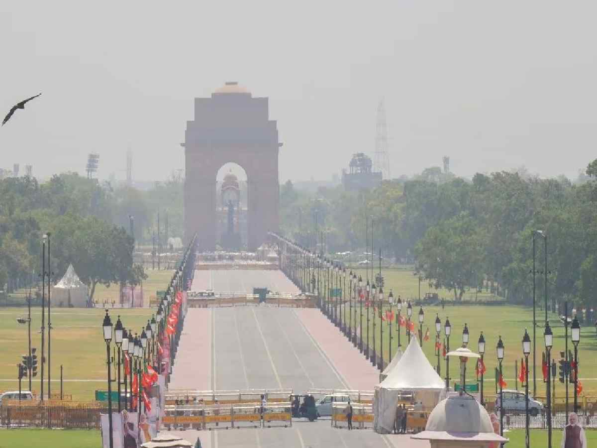
Meanwhile, Delhi’s air quality showed a marked improvement following the rain. At 9 am on Tuesday, the Air Quality Index (AQI) stood at 68, placing it in the “satisfactory” category, according to the Central Pollution Control Board (CPCB). On Monday afternoon, the AQI was 105, categorised as “moderate.”
As per CPCB standards, an AQI between 0 and 50 is considered “good”, 51 to 100 “satisfactory”, 101 to 200 “moderate”, 201 to 300 “poor”, 301 to 400 “very poor”, and 401 to 500 “severe.”
Weather officials said the cool spell is likely to persist through the week, with maximum and minimum temperatures expected to remain around 28 and 20 degrees Celsius, respectively.