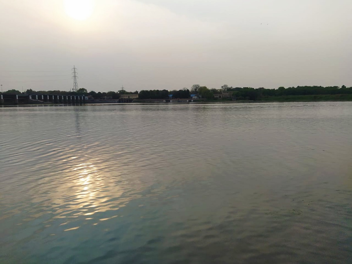
The water level of the Yamuna in Delhi exceeded the danger mark once again on Wednesday morning, less than 12 hours after it had dropped below the threshold. This occurred due to heavy rains in the national capital and the upper regions of the river.
According to data from the Central Water Commission, the water level reached 205.48 meters at 8 am and rose to 205.60 meters an hour later. It is projected to further increase to 205.72 meters by 6 pm.
On Tuesday afternoon, the flow rate at the Hathnikund barrage experienced a slight rise, fluctuating between 50,000 and 60,000 cusecs. However, by 7 am on Wednesday, it dropped to approximately 39,000 cusecs. One cusec is equal to 28.32 liters per second.
The India Meteorological Department issued a warning of heavy to very heavy rain at isolated places in Uttarakhand and Himachal Pradesh until July 22, with moderate showers expected in Delhi on Wednesday.
Prior to this, the water level in the Yamuna had receded below the danger mark of 205.33 meters at 8 pm on Tuesday, after being above the threshold for eight consecutive days. It receded to 205.22 meters at 5 am on Wednesday before rising again.
This increase in water level could hinder the rehabilitation process for affected families residing in low-lying areas of the capital, potentially prolonging their stay in relief camps. Moreover, it may impact water supply, which only returned to normal on Tuesday after being disrupted for four to five days due to the flooding of a pump house at Wazirabad.
The pump house in Wazirabad supplies raw water to Wazirabad, Chandrawal, and Okhla water treatment plants, which collectively contribute about 25% of the city’s water supply.
Parts of the city have been grappling with waterlogging and flooding for over a week now. Initially, intense waterlogging occurred on July 8 and 9, when the city received 125% of its monthly rainfall quota in just two days. Subsequent heavy rains in the upper catchment areas caused the Yamuna to swell to record levels.
The river reached an all-time high of 208.66 meters on Thursday, surpassing the previous record set in September 1978. The flooding breached embankments and penetrated deeper into the city than it had in over four decades. Prominent locations like the Supreme Court, Raj Ghat, and the intersection at ITO were affected by the backflow of water from drains.
The floods have resulted in the evacuation of over 27,000 people from their homes, causing significant losses in terms of property, businesses, and earnings.
Experts attribute the unprecedented flooding in Delhi to factors such as encroachment on floodplains, intense rainfall occurring within shorter durations, and silt accumulation that has elevated the riverbed.
A study on “Urban Flooding and its Management” conducted by the Irrigation and Flood Control Department identifies east Delhi as a flood-prone region, highly vulnerable to such events. Nevertheless, encroachment and development have been rampant in this ecologically sensitive area over the years.
According to exchanged letters between the Delhi Forest Department and the primary land-owning agency, Delhi Development Authority, around 2,480 hectares of land in the Yamuna floodplains have been encroached upon or developed since 2009.
(With PTI inputs)


